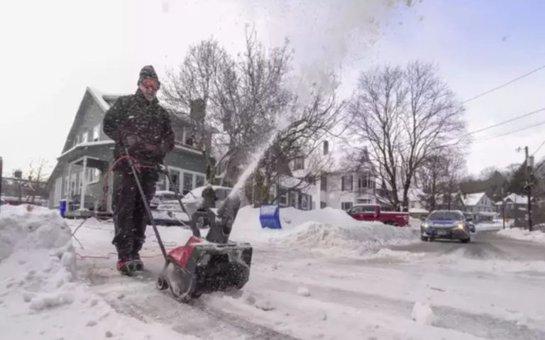
Kentucky Braces for Rain Next Week as Temperatures Start to Rise
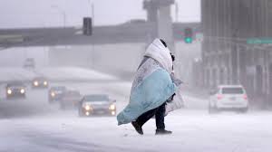
Kentucky residents can expect a shift in weather patterns early next week, with a warming trend bringing a chance of rain across the state. After a stretch of cold temperatures, conditions are set to moderate, with highs reaching the upper 50s to mid-60s in many areas.
Warming Temperatures on the Way
Starting Monday, February 26, temperatures will climb into the 50s and 60s across much of Kentucky. Cities such as Louisville, Lexington, and Paducah will experience highs near 60°F, providing a noticeable break from recent chilly conditions.
- Louisville: Highs around 56°F Monday, 59°F Tuesday
- Lexington: Expect temperatures near 57°F Monday, 58°F Tuesday
- Bowling Green: Highs reaching 61°F by Tuesday
- Paducah: Warmer conditions, with highs near 64°F by midweek
This warming trend is expected to continue through much of the week, bringing milder and more comfortable conditions.
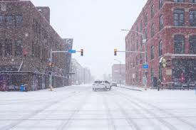
Rain Showers Expected
With the rising temperatures, scattered rain showers are expected, particularly on Tuesday, February 27. While forecasts remain uncertain on total rainfall amounts, residents should be prepared for occasional wet conditions and the possibility of moderate precipitation throughout the day.
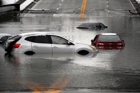
Flood Warnings Still in Effect
Despite the warmer weather, flood warnings remain in place for certain parts of Kentucky due to previous rainfall and rising river levels:
- Louisville (Jefferson County): Minor flooding continues along the Ohio River, but levels are expected to fall below the flood stage by Sunday.
- Paducah (McCracken County): Moderate flooding has been reported, with river levels projected to drop by Friday, March 1.
Residents in flood-prone areas should remain cautious and avoid flooded roads.
How to Prepare
- Check forecasts regularly: Keep an eye on updated weather reports as rain moves in.
- Plan for wet conditions: Expect slippery roads and occasional downpours early in the week.
- Stay alert for flooding: If you live near a river or low-lying area, monitor water levels closely.
Though this warmer, wetter pattern may be a sign of spring around the corner, it’s important to stay prepared for changing conditions. For the latest weather updates, visit the National Weather Service or check your local forecasts.