Snow and Rain Slam Salt Lake City: What You Need to Know Before Heading Out
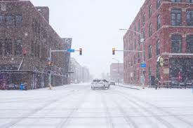
A strong winter storm is moving into Salt Lake City, Utah, bringing a mix of snow and rain that will impact travel and create hazardous road conditions through Thursday. Commuters should prepare for delays on major highways, including Interstate 15 (I-15) and Interstate 80 (I-80), as conditions worsen over the next two days.
What to Expect from the Storm
The National Weather Service (NWS) forecasts a mix of snow and rain, with fluctuating temperatures making road conditions especially dangerous.
- Wednesday: Snow will begin by midday, gradually mixing with rain in the afternoon. Highs will reach around 45°F (8°C), with light snow accumulation expected.
- Wednesday Night: Rain will continue into the evening, with cloudy conditions and temperatures dropping to 32°F (0°C). The chance of precipitation is 70%, increasing the likelihood of icy roads overnight.
- Thursday: Snow and rain will persist through the morning, tapering off in the afternoon. Temperatures will hover around 41°F (5°C), with an 80% chance of precipitation, making for a slushy and icy commute.
Travel Warnings and Road Conditions
With snowfall, rain, and freezing temperatures, roads across northern Utah will become slick and hazardous. Authorities warn that:
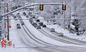
- Interstate 15 and Interstate 80 will see reduced visibility and potential slowdowns due to wet and icy conditions.
- Bridges and overpasses will freeze first, increasing the risk of black ice.
- Commuters should allow extra travel time and avoid sudden braking or sharp turns.
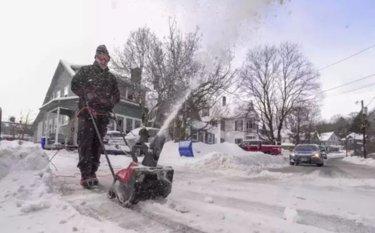
Officials from the Utah Department of Transportation (UDOT) are deploying snowploughs and road crews, but travellers should stay updated on road closures and changing conditions.
How to Stay Safe During the Storm
- Avoid Unnecessary Travel: If you must drive, reduce speed and increase the following distance.
- Prepare for Freezing Conditions: Keep warm clothing, blankets, and emergency supplies in your vehicle.
- Check Road Conditions: Monitor UDOT’s website and weather alerts before heading out.
- Watch for Ice: Roads may appear wet but could be coated with black ice, especially in the morning.
What’s Next?
While the storm is expected to move out by Thursday afternoon, lingering cold temperatures could keep roads icy into Friday morning. Drivers and pedestrians should remain cautious, as refreezing may create additional hazards overnight.
For the latest weather and road updates, check with the National Weather Service, UDOT, and local news sources. Stay safe, stay warm, and plan as this storm moves through Utah.